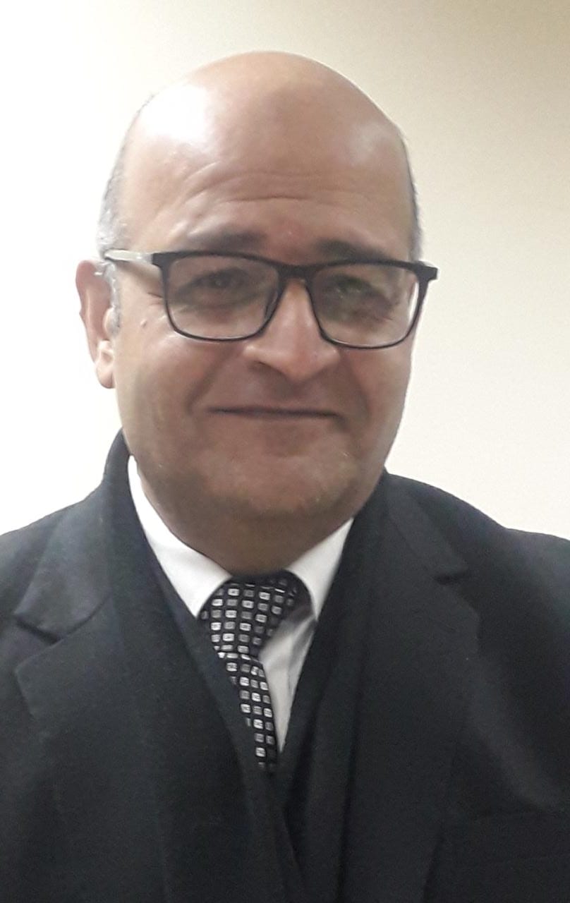
مدير المعهد الحالى

أ.د/ محمد الخولى

مدير المعهد

إدارات المعهد المتعاقبة
من البداية حتى الآن

م. محمد أحمد ثابت

مدير معهد بحوث الأراضى والمياه والبيئة الفترة: 1950 - 1954

مواقع صديقة

وزارة الزراعة وإستصلاح الأراضى
Ministry of Agriculture and Land Reclamation
مركز البحوث الزراعية
Agricultural Research Center
المكتبة القومية الزراعية
Egyptian National Agricultural Library
مزيد من المواقع الصديقة

مواقع مفيدة

الإدارة المركزية للأراضي والمياه والبيئة‎
Central Administration of Soils, Water and Environment
المركز الدولى للبحوث الزراعية بالمناطق الجافة
International Center for Agricultural Research in the Dry Areas
منظمة الأغذبة والزراعة بالأمم المتحدة
Food And Agriculture Organization OF The United Nations
مزيد من المواقع المفيدة

تابعونا على مواقع التواصل


أحدث البحوث المضافة

Hossam S. El-Beltagi , Fadl A. Hashem, Mona Maze, Tarek A. Shalaby, Wael F. Shehata and Noura M. Taha( 2022). Control of Gas Emissions (N2O and CO2) Associated with Applied Different Rates of Nitrogen and Their Influences on Growth, Productivity, and Physio-Biochemical Attributes of Green Bean Plants Grown under Different Irrigation MethodsAgronomy 2022, 12, 249.
More about researches
Doaa Ahmed El-Nagar a Dalal Hereimas Sary( 2021). Synthesis and characterization of nano bentonite and its effect on some properties of sandy soilsSoil & Tillage Research 208 (2021) 104872
More about researches

أحدث رسائل الماجستير
المضافة إلى الموقع

عبد الرحمن أمير عبده ( 2015).
الخمائر كاداه واعده لإنتاج الزيوت الميكروبيه.
Yeasts As Apromising Tool For Microbial Oil Production
More about researches
إيمان عبد المجيد زغلول( 2015).
كفــاءة الأســـمـدة النيتــروجينيــة فـي الأراضــي الملــوثــــة
Efficiency Of Nitrogen Fertilizers In Contaminated Soils
More about researches

أحدث رسائل الدكتوراه
المضافة إلى الموقع

محمد سعد عبد الستار رمضان( 2016).
علاج بعض الأراضي المصرية الملوثة بالعناصر الثقيلة باستخدام بعض النباتات المجمعة لهذه العناصر
Phytoremediation of Some Egyptian Soils Polluted with Heavy Metals
More about researches
أيمن حاكم سراج( 2015).
نمو ومحصول وامتصاص العناصر في الذرة متأثرة بالتسميد العضوي والحيوي تحت الظروف الملحية.
Growth, yield and nutrients uptake of maize as affected by organic and biofertilization under saline conditions
More about researches

Y. K. El Ghonamey, M. M. Shoman and A. D. Abdellatif ( 2014). Estimation Of Crop Area In Some Villages In Al-Gharbia Governorate Using Gis And Remote Sensing TechniquesMinufiya J. Agric. Res. Vol.39 No. 2(2): 853 - 872
Abstract: A high-resolution satellite data with dynamic GPS were used to estimate the crop area estimation. This study presents an approach towards the development of a Geographic Information System (GIS) for crop area estimation at a sub-regional level. The overall system design aimed at supporting crop area estimation through area sampling points, remote sensing and the combination between them. Therefore, a system was realized for supporting sampling points survey design, field work, data processing as well as quality assessment of the input data. Based on this, two prototype systems were designed. The first is the high-resolution satellite data (WorldView-2) with1.8 meter multispectral resolution and eight bands. The other was Dynamic GPS with high resolution. The functions of the system were tested and evaluated, using field data collected from the studied area during the spring of 2012. The results of supervised classification method showed that, there are overlapping between urban areas and other crops especially wheat. due to the this is could be similarity in reflectance between the two types of land cover. The study found that, the accuracy degree of IMAGINE Objective classification was more than the accuracy degree of supervised classification in producer accuracy, user accuracy and overall accuracy for crops under estimation. On the other hand the comparison between IMAGINE Objective results and official data revealed that, there was a convergence between the values obtained from IMAGINE Objective modules and official data of many villages of the strategic crops such as wheat and clover.

Keywords: (crop area estimation, remote sensing, GIS, IMAGINE Objective, GPS.)

The full text

Return to researches