


M. M. Shoman, R. K. Yacoub and Y. K. El Ghonamey( 2013). Land Evaluation Of The North Western Coast Of Egypt Using Microleis And Sys ModelsMinufiya J. Agric. Res. Vol.38 No. 6(3): 1779-1800
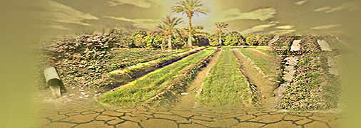
Abstract: The studied area is located between longitudes 28 26 57.0" to 29 16 52.1" East and latitudes 30 41 35.3" to 31 05 07.4'' North and covers an area of about 476422 fed. The studied area is located North of Western Desert, extending from the Mediterranean coast into the Western Desert. Thirty-four soil profiles were selected, described and the samples were analyzed. Using digital elevation model, geological maps and visual interpretation of satellite data, physiographic soil map was created to present mapping units of the studied area. The area under investigation was classified into 3 landscape units i.e. coastal plain, Plain of Marmarica formation and Northern Plateau. Two models of land capability and land suitability methods were used to classify the studied area. According to cervatana model in MicroLIES DSS program package, the area under investigation was classified into two capability class lands with moderate use capability (S3) which include two sub classes S3r (erosion risk is the limitation factor) with area 280141.7 Fed. and S3lr (soil and erosion are the limitation factors) with area 134708.6Fed., the other class is Marginal or non-productive land (N) which include one sub class Nl (soil is the limiting factor) with area 34903.4 Fed. According to Sys model, the studied area was classified into three capability classes. Moderately suitable (S2) capability class, which includes four sub capability classes. S2s1 (texture is the limiting factor) occupied an area 133862.6 fed., S2s1,s3 (texture and calcium carbonate are the imitating factors) occupied an area 68939.9 fed., S2s1,s3,n (texture, soil depth and salinity are the limiting factors) occupied an area 11147.8 fed. and S2t,s1,s2,n (topography, texture, soil depth and salinity are the limiting factors) occupied an area 9386 fed. Marginally suitable (S3) capability class, which include three sub capability classes. S3s1,n (texture and salinity are the limiting factors) occupied an area 62709.6 fed., S3t,s1,s2 (topography, texture and soil depth are the limiting factors) occupied an area 23299.9 fed. And S3t,s1,s2,n (topography, texture, soil depth and salinity are the limiting factors) occupied an area 25442.9 fed. Permanent not suitable (N2) which occupied an area 14965.1 Fed.
Six crops were selected to assess their suitability for cultivation in the studied area: wheat, sunflower, watermelon, potato, alfalfa and olive. Suitability degrees according Almagra model were ranged from soils with moderate suitability (S3) to soils with no suitable (N), while suitability degrees according Sys model ranged from highly suitable (S1) to permanent not suitable (N2). That is according soil limitations and the degree of its impact on suitability of cultivation the crops depending on each evaluation method
Keywords: (Remote sensing, GIS, land evaluation, MicroLIES, Sys, north western coast of Egypt.)


