


Soliman, M. M. ; Y. K. El Ghonamey and A. D. Abdellatif( 2018). Land Evaluation of Some Soils of Western Esna District, Egypt Using
Remote Sensing and GIS Techniques
J.Soil Sci. and Agric. Eng., Mansoura Univ., Vol. 9 (1): 21- 31, 2018
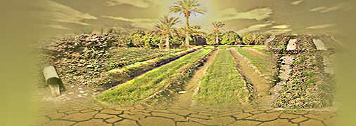
Abstract: The Western Esna area represents one of the highest priority areas for future development in the country. The studied area is located between longitudes 3215′58.0" to 3239′50.14" East and latitudes 2459′27.8" to 2533′
2.93'' North and represents an area of about 193557 Feddans. The purpose of this study is to evaluate some soils in Western Esna district using Remote Sensing (RS) and Geographic Information System (GIS). For this purpose,
eighteen soil profiles were described in the field and their representative samples were analyzed. Using geological map, Digital Elevation Model (DEM) and visual interpretation of satellite data, a geomorphic map was created to
present mapping units of the studied area. The area under investigation was classified into six mapping units, i.e. old terraces (87237 Feddans, 45.07 % of the total studied area) and soil classification of this unit is Typic Torriorthents, Typic Haplosalids with Typic Haplocalcids as inclusions. Recent terraces (21241 Feddans , 10.97 % of the total studied area) and soil classification of this unit is Typic Torriorthents, Typic Haplosalids with Typic Haplocalcids as inclusions. Outwash plain (38892 Feddans , 20.09 % of the total studied area) and soil classification is Typic Torripsamments with Typic Hapocalcids as inclusions. Wadi bottom (12975 Feddans , 6.71 % of the total studied area) and soil classification of this unit is Typic Torriorthents. Wadi plain (8865 Feddans , 4.58 % of the total studied area) and soil classification of this unit is Typic Torriorthents. Rocky land (24347 Feddans , 12.58 % of the total studied area). Land capability was used to evaluate the soils of studied area. According to Sys model, the studied area was classified into three capability classes, i.e. S2, S3 and N2. The soils of S2 have moderate limitations for agricultural crops, whereas texture is the main limiting factor (76.14 % of the total area). The main limiting factors of soils of S3 are texture and soil depth (11.28 %), while the soils of N2 (12.58 % of the total studied area) include rocky areas, Four crops were selected to assess soil suitability for cultivation in the studied area, i.e. wheat, barley, tomato and olive. The results indicated that olive was more suitable for growing in such soils.
Keywords: (Land evaluation, Remote sensing (RS), GIS, Soils, Digital Elevation Model (DEM), Esna, Egypt.)


